- Orbital Insight Blog
- How to Choose The Right AI-Driven Geospatial Analytics Platform (Part 1)
Blog
How to Choose The Right AI-Driven Geospatial Analytics Platform (Part 1)

Overview of the analytical workflow, common problems with geospatial data, and how to overcome them
According to a recent Deloitte report, AI-Driven geospatial analytics can provide a competitive edge in real estate. The research reveals that macro analysis is relatively easy due to the abundance of data, especially about the world’s biggest cities. However, micro-level analysis is more challenging for smaller areas of interest (AOIs), such as single business location. That's where an AI-powered geospatial analytics platform can shine a light. And the applications span several industry verticals beyond real estate. This two-part blog series highlights the common problems you will likely face when dealing with geospatial data and the top things to consider when evaluating geospatial analytics platforms. Selecting the right platform will ensure success in your first project, reveal possibilities for new use cases and set you on the path towards geospatial nirvana!
Analytics Workflow
As more organizations learn to harness location-specific sensor data, data and analytics teams face pressure to deliver more insights to business units. Today, innovation and data science teams are exploring AI tools to augment their analytical capabilities, but spatial data brings a unique set of challenges. So how can you prepare your team for this new data? The first place to start is understanding the workflow that will take you from raw sensor data to insights.
As shown in the illustration, the platform has to do a lot of heavy lifting to ingest different kinds of sensor data, perform data processing, data transformations, and apply advanced AI/ML/statistical models at scale. Broadly applicable and performant AI models for tasks like object detection in satellite imagery, for example, must have accounted for many nuances in the imagery itself (e.g. georegistration, orthorectification, cloud detection, and scene aggregation) and must have been trained on a diverse dataset drawn from a variety of AOIs (covering all types of terrain, seasonality, weather conditions, physical contexts, and more). If instead, you are interested in foot traffic analyses, a key component of good data will be models that deal with the many and varied sampling biases, panel shifts, and noise that plague the raw geolocation data from which these foot traffic data are derived.

Common Challenges
Analytics-savvy organizations who want to stay ahead of the competition, deliver unique solutions, and increase operational efficiency cannot afford to ignore geospatial intelligence. Geospatial data is at the core of any use case, whether it is customer visitations, trade area analysis, activity monitoring at a facility, or visibility into the entire supply chain to identify suppliers. Here are the top challenges that organizations encounter when dealing with geospatial analytics:
- The most common problem for organizations is deciding the appropriate architecture that can support optical satellite imagery, connected vehicle data, ship beacon (AIS) data, cell phone data to help them with various business use cases. An architecture that can scale elastically to manage computationally intensive algorithms based on an ever-growing list of disparate sensor types. The right architecture will be flexible, modular, and open giving you the option to add more intelligent sensors in the future. It will process and transform multiple geospatial datasets at scale using state-of-the-art algorithms in near real-time.
- The second problem is sourcing relevant geospatial data. Many vendors have their own satellite constellation and analytics platform, but does that give you the best coverage for your application? You also need to think about the spatial and spectral resolution requirements. The most advanced satellite systems offer 30 cm resolution, and you may not get access if you are locked in with one vendor that only provides 50 cm resolution. Perhaps your use case requires hyperspectral imagery, and your current partner does not offer it. Ditto on the geolocation data. Bad or outdated data can lead a retailer to select the wrong location for a new store. When it comes to data, quality is everything and you must have a rigorous system in place to ensure the validity of data. You need to hunt for the best data sources and conduct rigorous work to validate potential business partners' data efficacy and privacy policies. The right strategy is to have a partner ecosystem that will give you access to the best geospatial data - imagery or location data anywhere in the world at the most cost-efficient rates.
- The third challenge is deploying the best algorithm for any use case. Can you bring any algorithm into the platform, or do you have to only rely on the platform’s built-in set of algorithms? Most vendors lock their platforms and restrict the usage of algorithms developed by their teams. However, you may have a significantly better algorithm with higher accuracy suited for a particular application. Having an open platform that gives you the flexibility to add the best algorithms is the right approach.
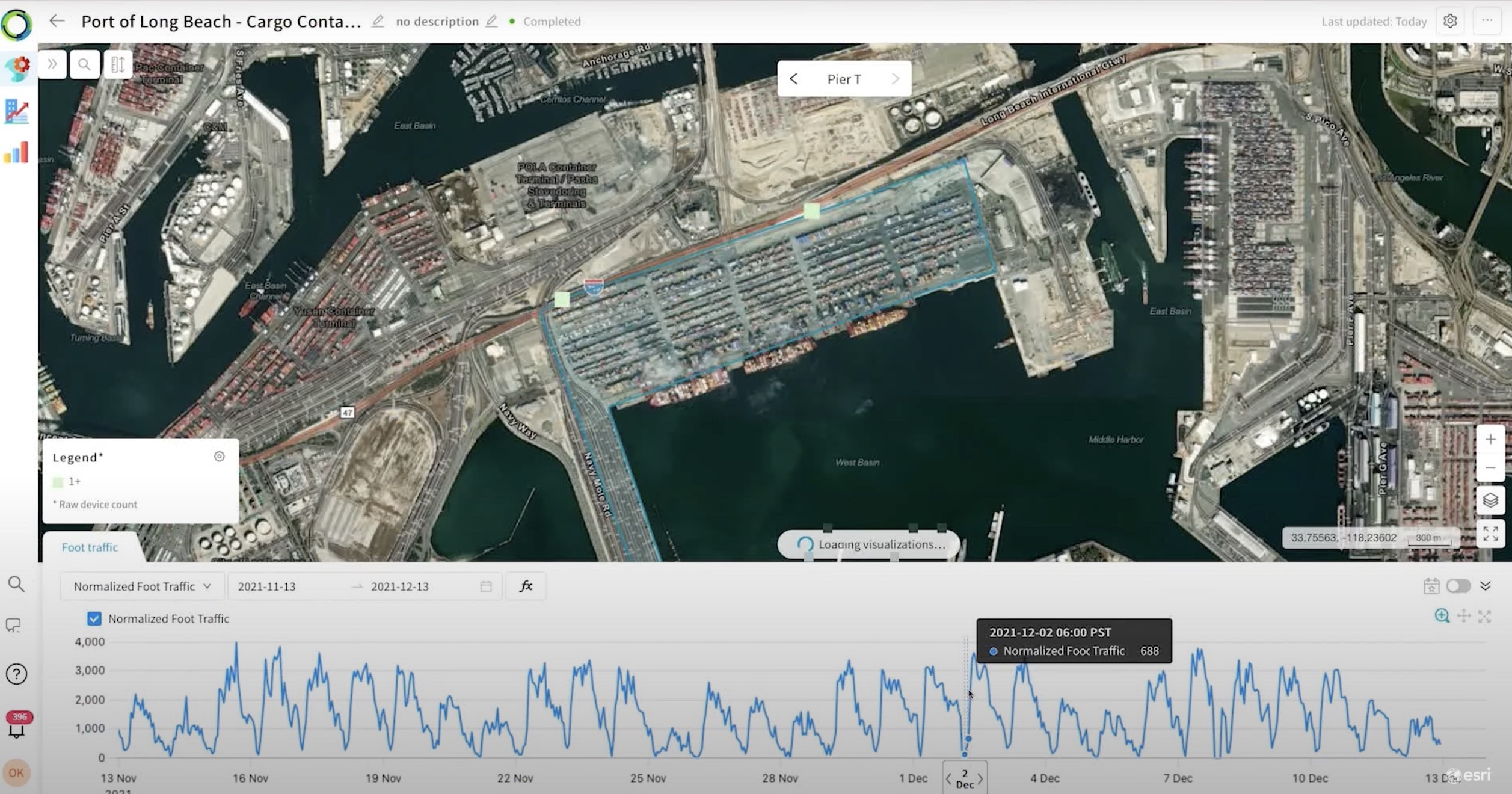
- Finally, a common issue is a collaboration with other business units, especially among non-technical users. How do you share analysis with other stakeholders such as finance and sales teams? Are you able to integrate into existing systems and workflows via developer-centric APIs? Most organizations have their preferred visualization tool, and bringing a new platform poses integration challenges. For example, ESRI’s platform is pretty common in the industry. The analytics platform of your choice should provide a way to easily integrate with ArcGIS and other GIS products.
Now that we have covered the fundamental aspects of the geospatial analytical workflow and common problems, we will jump into top considerations for selecting the right geospatial platform. Click here for the second article in this series: 5 tips for identifying capabilities, prioritizing features, and deciding which geospatial analytics platform is best for your business


