


- Orbital Insight Blog
- How to get ROI from Geospatial Intelligence (Part 1)
Blog
How to get ROI from Geospatial Intelligence (Part 1)

3 Critical things to know about your first geospatial analytics program
Business is a game of inches. A company needs to be relentless in finding new ways to compete in the marketplace to win. Whether it's through products, people, or technology, it's the job of leadership to bring new ideas to life. That means answering the question - What and where should you invest to gain the competitive edge?
Unfortunately, the answer to this question is complex because each company's needs, capabilities, and markets often differ, so there is no correct answer. However, one thing in the age of data is certain; our ability to paint a picture beyond our businesses’ own four walls has never been easier. In addition, new capabilities are popping up every year that widen the lens on how we learn about the marketplace at large to help us make more informed, data-based decisions.
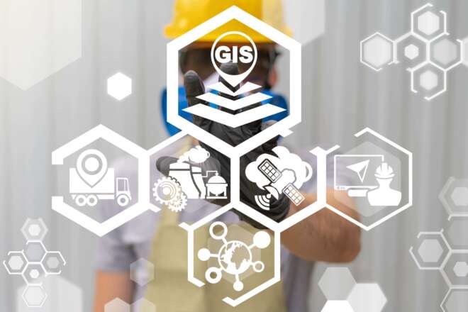
One area of incredible growth centers on the field of geospatial intelligence. The rise of viable and usable information about what is happening on and to the Earth continues to climb, but the real question is how do I best leverage this massive amount of information to help my business thrive? What aspects of the data are most valuable? What approach should I use to operationalize it? And how do I ensure my investment returns the ROI I need? While these questions engender the conceptual thinking one needs to address, the key takeaway is that this data needs to be part of your process and is of critical importance.
How do I think about the definition of Geospatial Intelligence? The National Geospatial-Intelligence Agency (NGA) defines Geospatial intelligence, or GEOINT, as the exploitation and analysis of imagery and geospatial information to describe, assess, and visually depict physical features and geographically referenced activities on the Earth. While this is the technical definition of geospatial intelligence, a more straightforward way to describe it is a way by which you can “watch” changes happening at any particular place on the Earth to help you learn something important to you that you didn’t know. Think of it as being an observer of a story happening anywhere in the world.
What are 3 critical things to know about bringing my Geospatial Intelligence program to life?
It's all about the story related to a place (AKA area of interest) you care about.
Geospatial Intelligence is about getting an accurate story about a place that matters to you. You can have all the data in the world, but until you can bring it to life to tell a story that is relevant to your business, you only have data…not insight. So the key questions you need to answer about the capabilities you are going to onboard are these.
- Can the data tell me a story about a place I care about?
- Can the data tell me a story about what is happening around that place?
- Can the data allow me to compare what is happening at that place to one or many others simultaneously, to understand my place’s relevance?
Why are these questions so important? Because the power of geospatial intelligence lies in the concept of being able to process all that information and ultimately tie it together to enable you to tell the story at that location in a manner that is valuable to your business. To this end, by centering your geospatial program efforts around the concept of places rather than the data itself, you will be thinking more holistically about the process you need to make it successful.
Completeness matters If you want to tell a good story
Now that your mind is centered on a place on the Earth you want to bring to life with rich storytelling, you need to think about what data will allow you to do that in a SCALABLE manner. Why scalable? Because inevitably, when you hope to understand what is happening on or to the Earth, not all places are created equally. A plant in Houston in the United States may have different types and amounts of data available than a plant in rural Brazil. Someone who wants to understand patterns of life at an apartment building in Atlanta, GA, might need different information than someone who wants to do the same in a soccer stadium in Dublin, Ireland. A high-resolution satellite image is just an image, but when layered with vehicle flows, human movement, and perhaps even the news centered around an area of interest, the richness of insight climbs quickly. The question that might need answering may be limited by the amount of geospatial data available or by the types of questions the data can bring to life.
This truth means that to have a robust new geospatial analytics process, your platform needs to bring as much data as possible to any given site if it wants to answer the three questions above thoroughly, comprehensively, and at scale. Ostensibly, one type of data does not make a story. Think more broadly about your place-based story. Be sure that the platform you use has multiple data sources and how the data science can be applied to deliver the maximum amount of insight if you want to impact your results.
How do you bring the location-based story concept to life?
As with many software solutions, people often forget you buy a tool to build a process that your culture will adopt as the standard way of doing things. Like any new capability, you need to think through what it will take to make it live. When it comes to location-based storytelling, you need to think through what you want to accomplish.
In the second part of this topic, we’ll outline 5 steps to successfully bring insights to life, to increase the odds that you’ll gain the competitive edge you want, and to realize ROI from Geospatial Intelligence.
Recommended for You
-

blog
Jan 12, 2022
8 Site Intelligence Use Cases: Connecting The Dots Between Location And Human Activity
Site Intelligence connects the dots between people’s behavior and physical location, producing powerful insights. These insights enable you to predict business performance, build better financial models, find cost-saving opportunities, and meet demand accurately.
Learn More
blog
Feb 17, 2022
How to Choose The Right AI-Driven Geospatial Analytics Platform (Part 1)
How to choose the right AI-driven Geospatial Analytics platform? Get an overview of the analytical workflow, common problems associated with geospatial data - and how to overcome them - in part 1 of our two-part series.
Learn More